Jump to content

sibhusky

Members
  • Posts

    3927
  • Joined

  • Last visited

  • Days Won

    48

Everything posted by sibhusky

  1. It's now posted: Job at Moonlight
  2. I found here that the difference of lift speed between using Chair one and using the 4-5 combo (which NEVER has even one person waiting because it's only open during holiday times, so everyone forgets about it) meant a line had to be at least 8 minutes before it paid off to go to the 4-5 combo. And even then, it didn't really pay off because there's no foot rest, so your circulation is getting cut off while you sit forever. We almost never have an 8 minute lift line here. The result of those kind of crowds when translated to the Ant Hill at the top is reminiscent of Camelback's Honeymoon Lane at 2 PM, so I usually leave not because of the lift lines, but because I like more elbow room on the hill these days and can't stand the sort of "gang skiing" that occurs when a large family all decides to inexplicably cut en masse from the right side of Big Ravine to the left side all at the same time.
  3. Yeah, how many runs will that even FIT on? I was wondering about here and none of the steep runs and maybe only three areas would have the right topography for the thing.
  4. Oh, yeah, I can get that output, I do it in either KML or GPX and suck it into Google Earth if the adventuress is on the move. However, for skiing it would be useless as the transmission is only every 10 minutes. It would keep showing me going up the chair again. LOL! See the topic "Siblet looks for turns at Logan Pass" to see the kind of output it generates. Go to Post #3 for the gpx output of the route. (Blue line). Things labeled "track" are KML dots.
  5. So, how often are the points stored? Just curious. I use a SPOT tracker with my daughter, and "drift" due to weather and angles (we're pretty far north, so there are extended periods when mountains block transmissions from the SPOT for hours) causes sometimes EXTREME anomalies and I've found her 'tracks' on the wrong side of cliffs (assuming the track was received at all). I realize that you are not transmitting, only saving, but aren't there issues with satellite connectivity? How many satellite does the smartphone or a normal GPS receiver need to connect to before it has enough info to determine where it is?
  6. When Siblet was in the desert two summers back, she was the only one in the camp with a working cell phone because everyone else had smartphones, all different service providers. That was with the LG5500. I recharge my phone less than once a week and it's not because it's run out, it's because the battery is down to two bars.
  7. So, did you have people ski these runs to give you tracks? Or did you just overlay Google Earth with the resort trail map or what? For instance, why is something like Back Nine represented with a zigzaggy line, when actually it's an AREA and there are such dense trees you'd be unlikely one day later to find the same line as you did the day before? And how do these lines work in reality? Just looking at the Lower Inspo, Lower Expressway, Bad Rock, area, nothing seems to line up with any trail system. I'm just wondering what the application does in a situation like that? (I don't have a smartphone, I want my battery to last all day.) .. and a lot of the resort has no cell service -- how does THAT work? I think the cell tower is on radio tower peak there and if you are in the shadow of some cliff or down a gully or anything line of sight, you have to wait to get a signal. Don't users find lots of dead spots when they are using this? Or is there something in the smartphone that overcomes the cell service issue? (Like I said, I don't own a smartphone...)
  8. Wow, just looking at more discrepancies. Larch is marked as black on this map and is right by Powder Bowl, but on the trail, it is where Corkscrew is and is a blue and Corkscrew is the next opening over...It's like someone in the office has never looked at the trail signs as they go down the hill! Quite confusing! I'll have to check things out right there, but all my friends and I refer to the areas as they are marked on the signs and not as marked on this map. And, of course, we have lots of areas not marked on the map... Crazy. I don't know how you can do what you are doing! What happens when a user goes down the area between Big Horn and Gray Wolf on the map? How does it get counted? That would be "Super Mario" to some people and it is clearly a double black in fact if you don't watch it you'll be in a world of hurt because there are cliffs. (Sibby doesn't ski there, but Siblet does...)
  9. I just checked two paper maps here. The one for last year says it's a black, the one from the year before calls it a blue. Nothing changed in the interim. I'll have to ask them about this. It is sort of hairy to ski because it's narrow and a sustained pitch that makes you increase speed steadily if you don't control it. It's for the "slalom skis", that's for sure! However, the pitch is equivalent to a beginner hill! I see the bit about "snowmaking ponds" on the maps. Nuts. Just informationally, not to make your maps different than the trail maps, here is the "advanced" area around the ponds, taken from the exact spot, looking "up" and "down". In the area BELOW the ponds is the beginning of Good Med. Does the pictured area look advanced to you? Below: In the pic above, if you look at it full sized, you'll see the ponds are closed off. The pitch until them is pretty much non-existent, then along side them it's just a short dip, then you're in Good Med. Unfortunately, I don't have pics of 1000 turns, you don't dare stop there as there is no way for anyone to get AROUND you. ...Maybe that's why they made it a higher level...too many gapers traversing in snow plows? I used to use it a lot before I ran into illegal uphill travelers too many times, plus people descending from the trees above it into the trail. Another trail there are differing opinions on is Heaven, marked blue on the maps but black at the top of it when you're on the slope.
  10. Also.. Also the "Advanced Snow Making Ponds"??? HA. Since they are PONDS, they are definitely closed and dangerous. The area around them is not really advanced and is just the lead in to Good Medicine. 1000 Turns is an Intermediate unless you made it Advanced because it's narrow and there's people dropping down in front of you from above sometimes.... Where'd you get this stuff from?
  11. Digitized? Looked you up, now I get it. On Whitefish Mtn Resort's map, you have Elephant's Graveyard as Intermediate. The trail map calls it Expert, not sure where you got Intermediate from. It's got roughly the same pitch as No Name, which you have as Advanced, but it's covered with trees (No Name is not and even gets groomed on occasion), so I'm pretty sure it should be Advanced as well.....
  12. Or...the ignore button.
  13. It varies. When I first moved here, they attempted to open by Thanksgiving and one year beat that. However, it was COSTING them big time and people would show up that weekend and then not show up again until the front opened. Then Foley took over and the new word was "profit". They pushed back the opening until the first weekend in December and...guess what, the snow gods agreed with that opening until last year. Then last year we got a TON of snow and for the first time we opened with not just the back, but close to 100% of the terrain open. Clearly we could have opened earlier and let people get their legs back until we had 100%. But, when they were doing that, they were using snowguns to do it and they were drawing down their agreed allotment of water from the Haskill Basin drainage faster than they liked, leaving them in a precarious position for the rest of the winter. Plus, since they opened not just for Thanksgiving, but every day after that, they were running lifts and not putting butts in them. This year's opening (if the website is up to date) will be Dec. 4. ... But since that's a Sunday, I'm thinking it's a leftover, but it gives you an idea of the likely weekend. Last year they stayed open a week longer than they had recently due to the La Nina that was forecast. We actually got more and more snow after they closed, reaching the highest snow pack for the year AFTER closing day.... and it lasted and lasted. Since last I looked there was no or only maybe a weak La Nina forecast for the coming winter, I'm not expecting much. I'm hoping it's colder, frankly, the snow is better then. It was on the warm side last winter.
  14. I figure the exact "halfway point" here is August 7.
  15. And maybe fall (Autumn)... I think there are a number of out here who include ski patrolling as part of a patchwork of jobs like river or fishing guide, etc. that can make a livable wage. Siblet's boyfriend is a patroller, a fishing guide/ranch manager, and edits a magazine in his "spare" time. I can tell you, though, that he doesn't have a lot of "play time" because he is pretty much booked up with work most of the year. The work is "fun work", though. And he has managed to invest some money over the last few years. His brother is a fishing guide, Iditarod guide (for tourists watching the race) and a bartender. He's pretty frantic as well. His guiding is all over the country now as he's freelance, so he's always off somewhere or other. I think there are a ton of people out west living like this. I think it takes some commitment and connections to be able to sustain this life and eventually have a family. I was typing this as the above posting came in...
  16. Four months and two weeks here. Of course, since it's neither El Ni
  17. NO. Too out of shape. Siblet is able to keep up with these other mountain goats, not me. I just noticed I said they approached from the left...should have said right as can be seen in the route maps...
  18. Some pictures. I've jiggled the pics a bit to show snow consistency and tracks better. These aren't all of them. The companion has his own ski company and those are some of the skis he sells. First pic is from below, standing about I'm thinking, a third of the way between the parking lot and the ridge: They will approach the ridge from the left and climb along the ridge itself to a notch, then down-climbed the rocks (IN SKI BOOTS!) and skied from the area the snow begins. One view from the ridge back to what they came over to get to it: Adventure companion (not the boyfriend): Climbing up the ridge line in ski boots. Friend had mountaineering boots, Siblet did this in RACE boots! Looking down from the ridge. Red arrow shows the buildings and parking lot in the distance (Logan Pass) Companion putting on skis after downclimbing to a ledge (there were several) below the ridge line. Below him is a "non-hoppable" crevasse they had to find a snow bridge (two skis wide) to get across. You can't tell from the pic, but it's about 12 feet across. Companion pointing up to their tracks. Where they hiked to is visible as the notch in the ridgeline above his head. They did figure 8's down, but the snow was coming down with them, so it just looks like a snow slide, but the tracks are pretty much at the end of where he is pointing the pole. Close up of tracks. Used Paint Shop Pro to emphasize them better. You can sort of see the figure 8's. Friend skied down through some connecting paths through the rocks. Siblet skipped that. She says she had a great time and would do it again in a heart beat. The snow consistency varied quite a bit all over, but she had a blast.
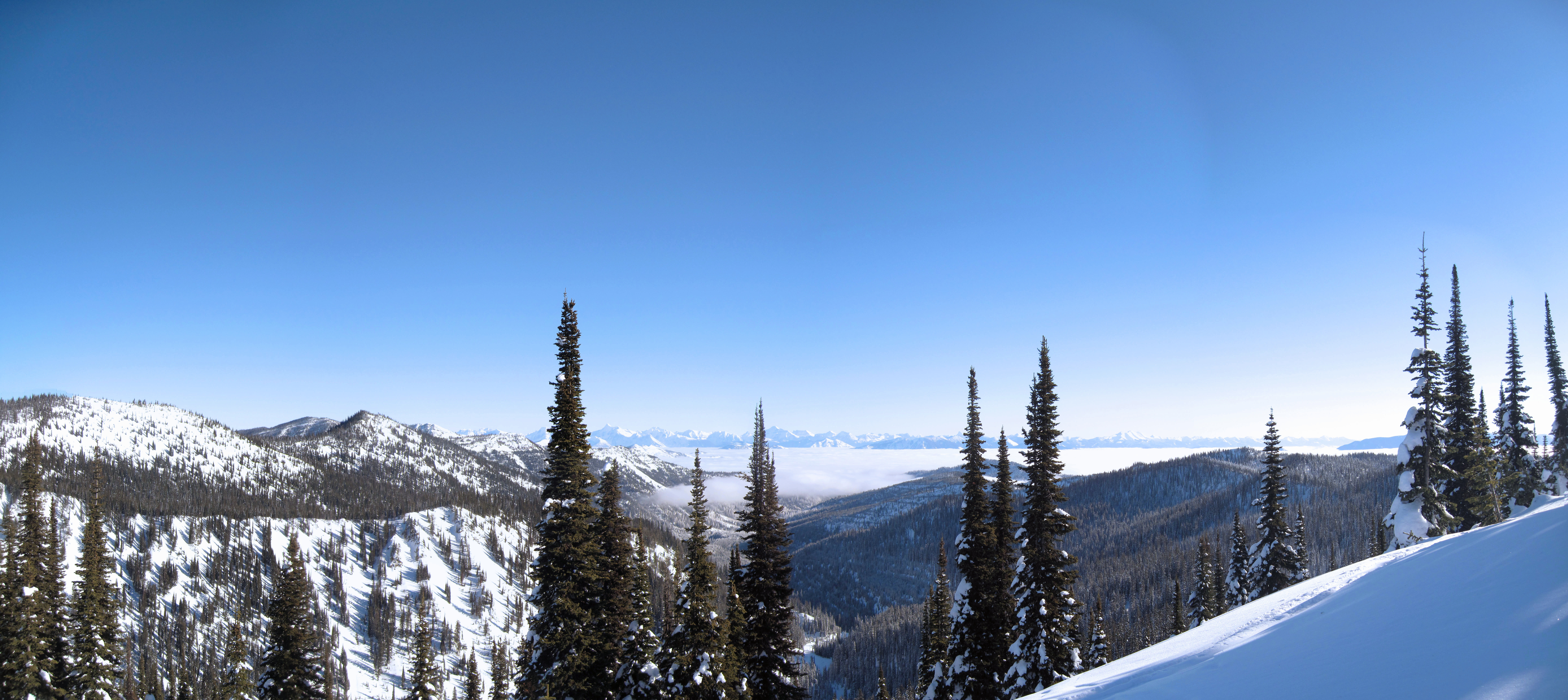
  19. I'm following Siblet's SPOT tracks as she goes across a ridge to get to some snow: In the pic below, you can see the ridge in the distance (this a pic from yesterday): Update: She's started down, crossing diagonally from that notch from left to right. I hope there's lots of pictures!!! I think the notch must have stopped them for some reason.
  20. They are just "regulars" here. Between the daughter and myself, we cover a lot of "skier categories". Siblet skis with a lot of "cliff jumper types", the ski patrol, the other alpine coaches, etc. I ski a lot, so know people who ski a lot. After all, we talk to each other on chairs here. The film was shot all over Montana, but much of it was here.
  21. Well, it obviously WAS able to be profitable for at least 30 or so. I just think the down economy has impacted vacation home purchases, recreation, etc. and it didn't have the cash flow to weather the economic downturn. You know, Camelback years ago was in the same boat, that's why the Village at Camelback was sold off early in its days to someone else and the Camelback-linked real estate today is actually Northridge. They had to sell off the Village to cover their bills.
×
×
  • Create New...